| wireframe |
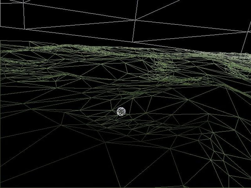
| A wire frame image showing an example of how the terrain is tesselated. If you look closely you can see that polygon size is quite variable. Terrain areas of greater complexity require a finer mesh to maintain a preset level of accuracy. Also note, the moon is hiding below the surface, but is exposed because of the wireframe rendering. |

|